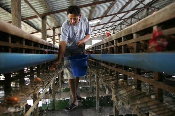
The National Weather Service (NWS) has issued flash flood warnings for parts of the Four Corners region as monsoonal thunderstorms intensify across the area.
The warnings cover portions of southwestern Colorado, northwestern New Mexico, southeastern Utah and northeastern Arizona.
Heavy rainfall is expected through Friday, increasing the risk of localized flash flooding, especially in areas with burn scars—regions previously scorched by wildfires—the NWS has warned.
"So in the Southwest, and this is mostly in the Four Corners region, we have what's known as a summer monsoon structure," Erinanne Saffell, a climatologist at Arizona State University, told Newsweek.
"What that means is that we get winds from the South that bring moisture to the Four Corners and that moisture can become thunderstorms."
Saffell explained that the thunderstorms form as warm air rises, taking moisture with it to form thunderstorm clouds.
"And then all that comes crashing down. So you have the potential for flash flooding, lightning, strong winds and microbursts," she said.
The risk of flash flooding is particularly pronounced in the Four Corners due to the nature of its soil—clayey soils are bad at sucking up moisture, making runoff more likely.
"When we get precipitation coming into Arizona, it doesn't always want to go into the ground. And when a lot of rain in a short period of time lands on these clay surfaces or it lands on areas where there have been wildfires, it won't infiltrate as readily," Saffell said.
Other risks associated with monsoon thunderstorms include dust devils—vortexes of dust-filled air that can extend several thousand feet tall—and "gustnadoes"—a vortex phenomenon combining features of tornadoes and dust devils.
Hail is also a common feature of summer thunderstorms in the region. While most hailstones are generally no larger than a pea, icy pellets as large as 4.5 inches have been recorded before, according to Arizona State University.
Speaking to Newsweek, the NWS Forecast Office Salt Lake City, Utah, advised residents to "monitor the latest forecasts and be alert for possible flood warnings. Those living in areas prone to flooding should be prepared to take action should flooding develop."
The Salt Lake City Office also highlighted "slot canyons, normally dry washes, creeks and streams, recent burn scars, and other low-lying and flood-prone locations."
Saffell, meanwhile, cautioned drivers planning long journeys. "In the Southwest, we drive on these long highways that cross over what are called dip channels. Those are flash flooding channels that are usually dry but can fill in during a flood event," she said.
"So it's important to understand where the rains are going to go and where you're driving so that you can be safe from potential flash flooding."
Do you have a tip on a science story that Newsweek should be covering? Do you have a question about extreme weather? Let us know via science@newsweek.com.
Disclaimer: The copyright of this article belongs to the original author. Reposting this article is solely for the purpose of information dissemination and does not constitute any investment advice. If there is any infringement, please contact us immediately. We will make corrections or deletions as necessary. Thank you.